Back to the focus on the Humber Estuary and in particular here the stretch of Humber bank walking west from Hessle Country Park to Brough Haven area. As previously stated for much of this route the public right of way is sandwiched between the Estuary foreshore and the rail line to Hull Paragon station. Inland, and beyond what would have been the Estuary foreshore in late geological times, the Yorkshire Wolds rise. Quite a variety of wild plants grow alongside this section of the footpath, partly because there is no arable land in the vicinity therefore a lower chemical count. Red valerian is particularly striking in May as well as buddleia which flowers one-to-two months later.
Approaching North Ferriby a wide grassy area separates the railway and the Humber bank as the rail-line angles inland, here with clumps of shrubs and ground-cover wild flowers. A few benches funded by the parish council add to the facilities. Also to be seen is a life-size cut in the turf outlining the size and shape of the Iron Age boats discovered in the Estuary muds between the 1930s and the 1980s – the ‘Ferriby boats’ (s.p.b.s from a while back). Walking the side of the Humber foreshore is here presented with an unfortunate problem in that just after the Paddocks for the Riding for the Disabled horses the path cuts inland and the only way to continue west is on the foreshore itself, this very muddy and difficult to walk at low tide and dangerous to walk at high tide. So the only known option (to me) is to walk north over the rail line and through the village and then back down to the foreshore immediately west of the village having passed through a linear shelter belt of mature deciduous trees (partly carpeted with bluebells in April).
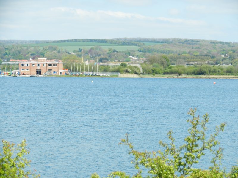
(To be continued). The photo above shows the view inland across Welton Water – see next blog/post.