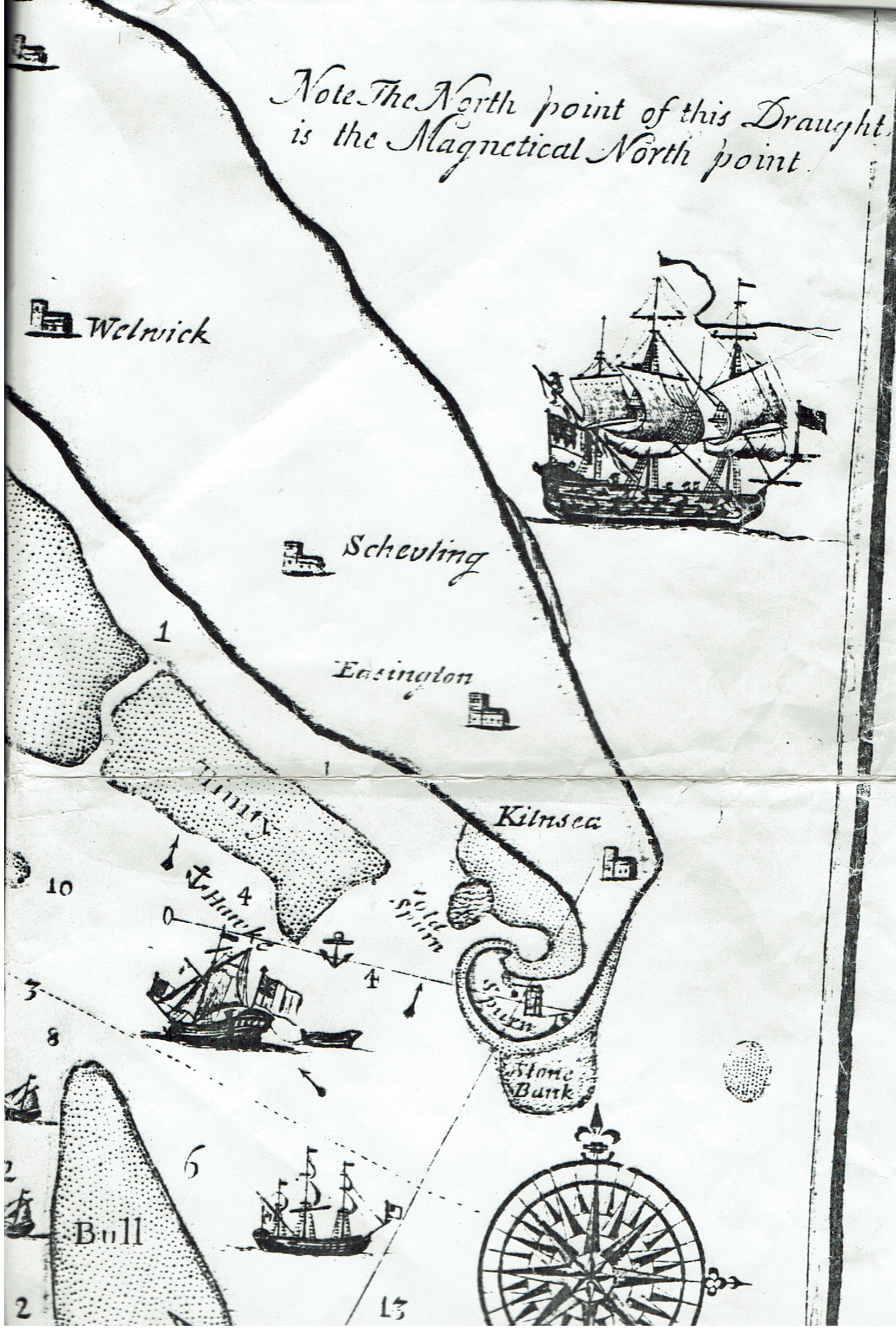
The last of the four sections of John Scott’s navigational map (1734) of the Humber Estuary shows the top part of mouth of the Estuary, The map extending as far south as ‘Donner Ness’ (now Donna Nook) on the Lincolnshire coast just east of the village of ‘North Sommer Coates’ (now North Somercotes). This raises the question as to where the mouth of the Estuary ends and the sea coastline begins again, this issue being debated for a number of estuary mouth areas. Certainly this part of the north Lincolnshire coast is directly impacted by the Estuary in that large quantities of eroded material from the Holderness coast, rather than being swept into the Estuary itself on flow tides, is deposited along the coast between Humberston and North Sommercotes on ebb tides, thus creating vast mudflats along this lowland coast. Again, Scott’s recording of depths in fathoms emphasises the problems of navigating the Estuary, a depth of 13 fathoms recorded south of Spurn Point but even in the narrow main channel that decreasing to eight and nine fathoms off Grimsby and further west.
Again, Scott names the mudflats, and there is no doubt that the configuration of mudflats in the lower Humber has been more stable than that of such hazards to navigation in the upper Humber.
The phrase ‘Stonie Bank’ on an apparent mudflat immediatly south of ‘Spurn’ is interesting. Two centuies later than the production of this map keels and sloops sailed to this part of the Estuary mouth, settled onto solid ground at low tide and stones/gravel were shovelled into the hold of the boats which re-floated on the tide and carried home their cargo, perhaps used in the making of concrete, perhaps to fill pot-holes in the roads or, maybe, for the making of gravel paths.
Finally, in the bottom right-hand corner of the map is written ‘Engraved and printed by J. Hilbert HULL’.