The River Ancholme is a canalised river flowing north from Bishopbridge, on the road between Gainsborough and Market Rasen, north-east of Lincoln. The River exits into the Humber Estuary and is fed by a number of headwater streams south of the Market Rasen road. For the whole of its length the River Ancholme has been canalised and along much of its length the meandering course that the River once followed is evidenced either in the course of nearby drains/streams or in the surface of fields, this particularly so between Brigg and South Ferriby. The story of the River’s canalisation and of the construction of a sluice at the mouth of the River is a complex one extending from the 17th to the 20th century. Centuries ago the level land of the Vale of Ancholme either side of the River would have been a complex of marshland/wetlands, increasingly bracish near the Humber where high tide waters would have washed through the marsh, further inland the waters of the marsh would have mostly come from streams flowing in from the springline of the Lincolnshire Wolds to the east and from the springline of the dip slope of the Lincolnshire Heights to the west. Although used as a transport artery in the 19th century, the main financial incentive for the canalisation of the River was to improve drainage across the Vale – the name ‘carr’ being applied to the Vale lands of each successive parish whether north or south of Brigg. Although some fields of permanent pasture survive, the drained fertile land of the Vale is arable farmed (that stated, a sizable proportion of the land is given over to the permanent production of ‘elephant grass’ annually cut for the biomass fuelled generators at Drax).
Panoramic views across the Vale can be had from the route of Middlegate running north-south just below the ridge of the Lincolnshire Wolds on the east side of the Vale.
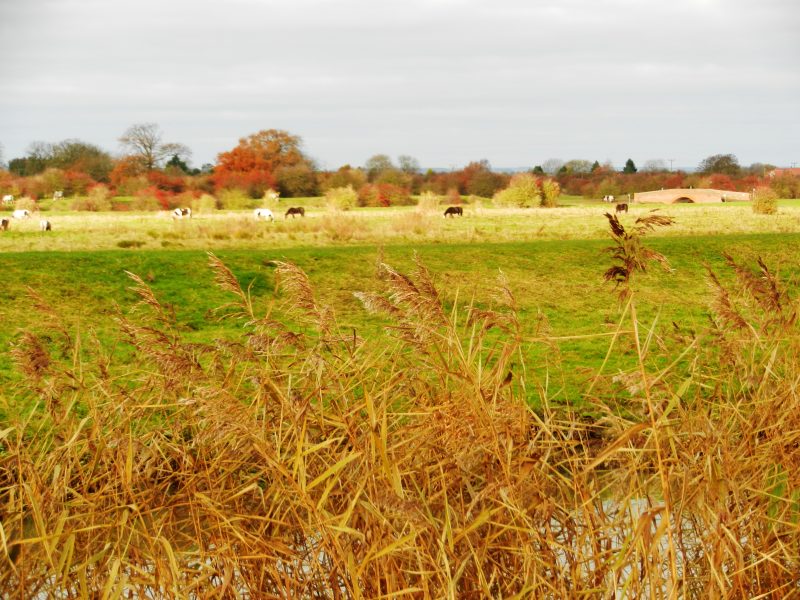
(to be continued) (the picture above is of part of the floodplain of the River Hull).