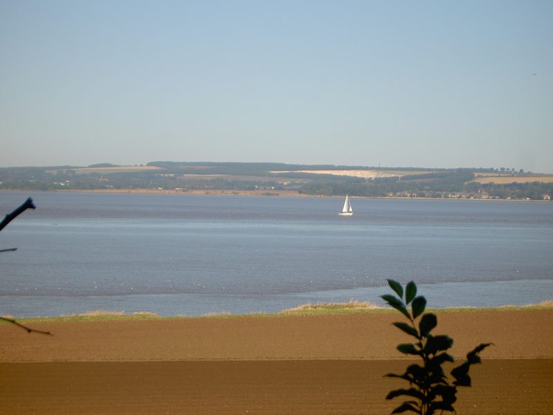
The photo above, taken from the farm track on the south bank of the Humber Estuary that in centuries past was a section of Ferriby Low Road (from Barton), shows Melton chalk quarry just visible in the dip slope of the Yorkshire Wolds.
The development of large-scale chalk quarries was allied to changes in the pattern of land ownership in the region. Leggett’s Quarry only began to be excavated after the land of South Ferriby was redistributed at the time of parliamentary enclosure. In the parish, land ownership along the Humber valley-side was brought together to form part of the holding allocated to the lord of the manor, soon to live at Ferriby Hall (extant). He then provided the capital needed to fund the excavation and gradually achieve a return on the sale of the rock. Initially known as the ‘Pit’ or ‘Stone Quarry’ by 1824, First Series one inch to one mile O.S. maps, excavation of the Quarry had already cut across Ferriby Low Road which had to divert around the top of the Quarry and was later abandonned (evidenced today in two sections of public rights of way). South Ferriby historian Raymond Carey wrote that the exploitation of the Quarry was a main reason why the population of South Ferriby doubled between the early 19th century and 1841 (availability of employment), this resulting, in turn, in the construction of at least two terraces of worker’s housing (extant). By 1851 10% of South Ferriby’s working population were employed in quarrying, this percentage only exceeded by farm workers and servants.
The same sequence of events happened in Barton parish. Following Parliamentary Enclosure in the 1790s land redistribution enabled the lord of the manor to capital fund a new chalk quarry soon to become known as Barton Cliff Quarry. Today this large quarry stands disused with its cliff-face immediately north of the western end of Westfield Road.
(to be continued).